Volume Calculations and Digital Surface Modelling
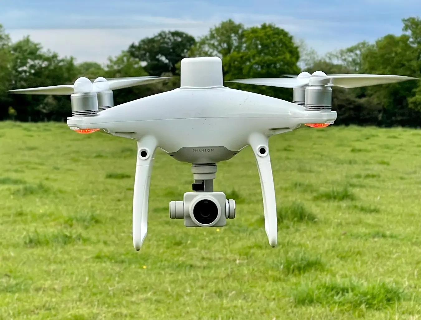
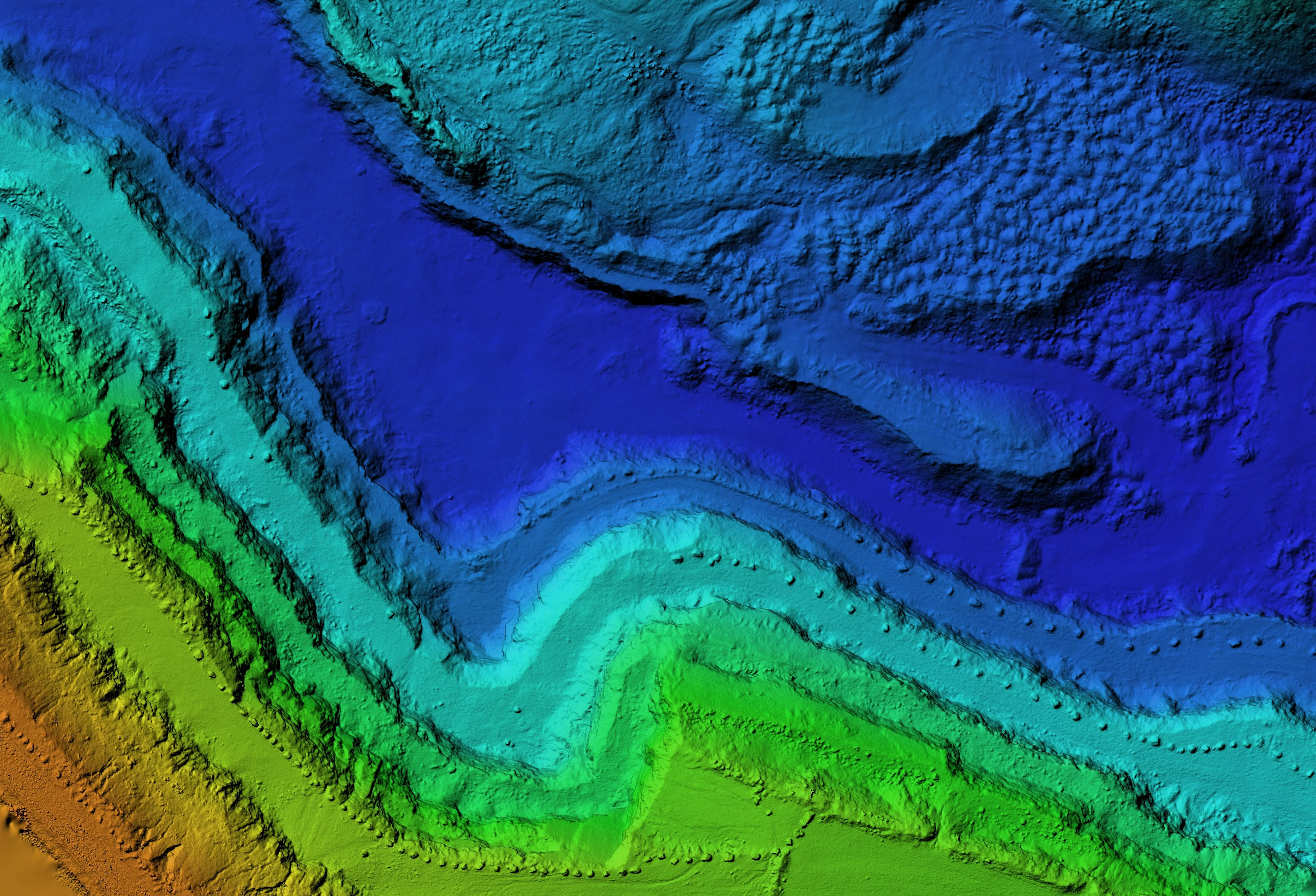
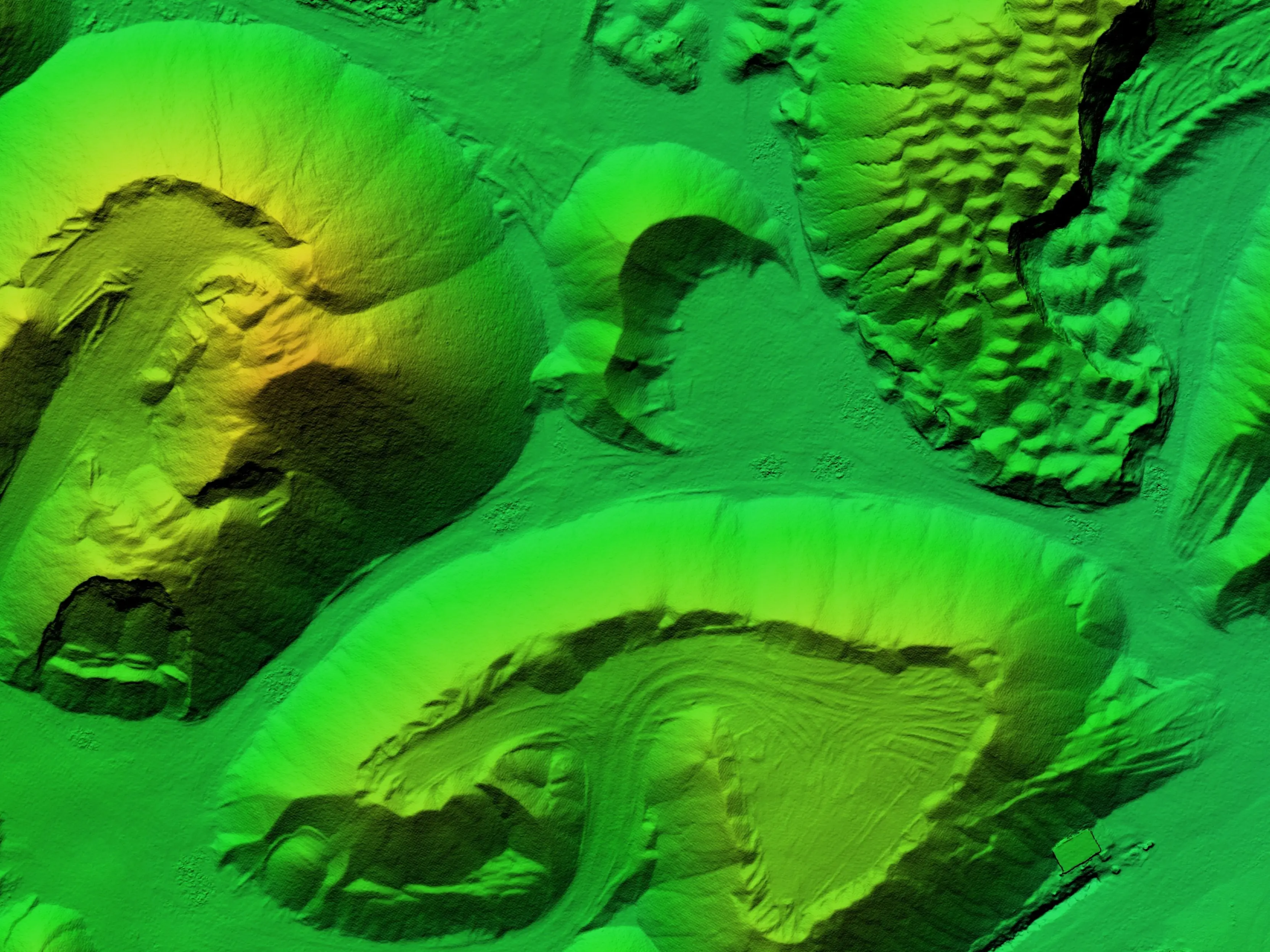
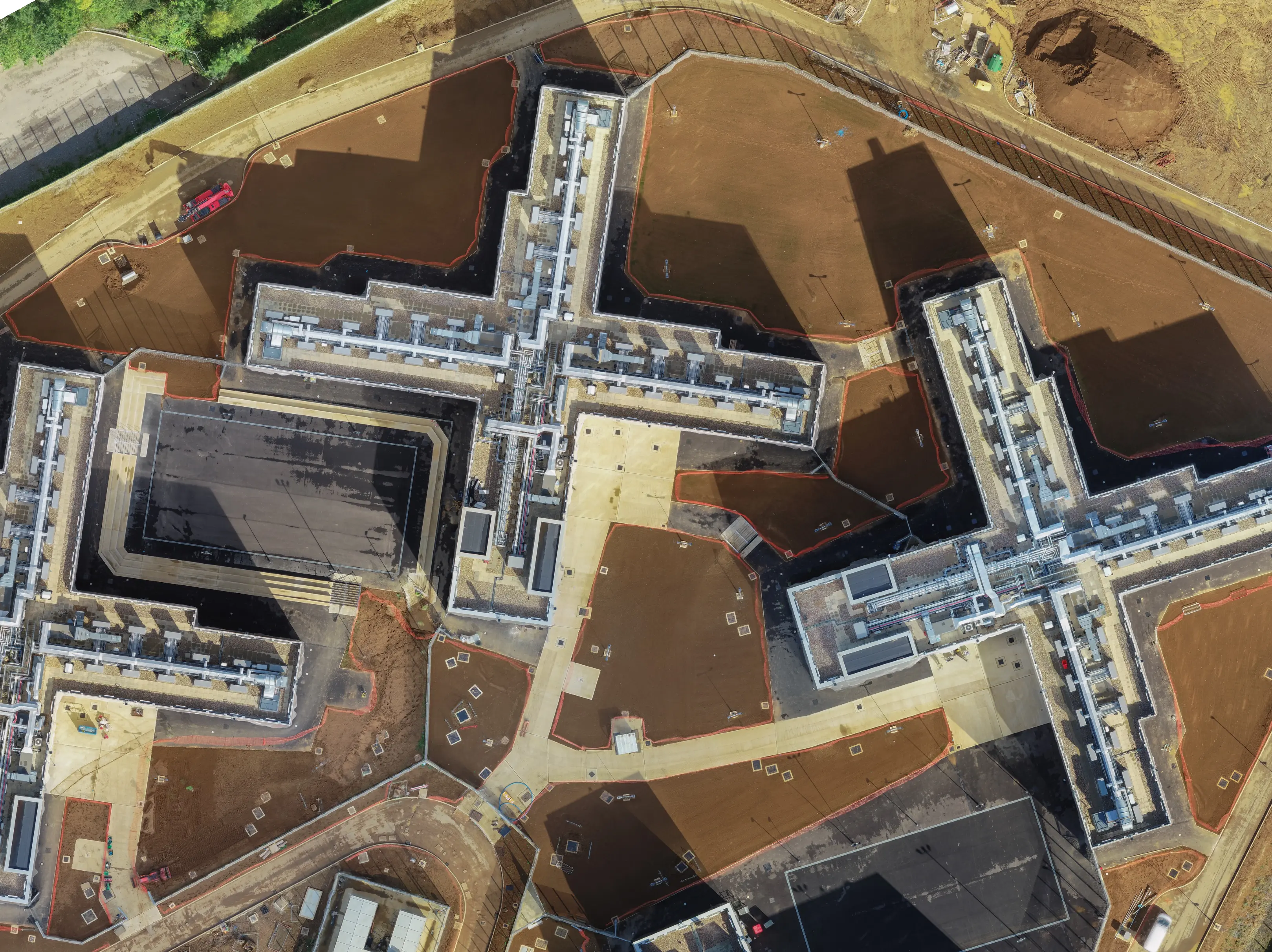
Our volume calculations and digital surface modelling services provide accurate and detailed information about the topography and volume of your land or construction site. Using advanced technology such as drones and specialized software, we capture highly precise data to create digital surface models (DSMs) and calculate volumes of material.
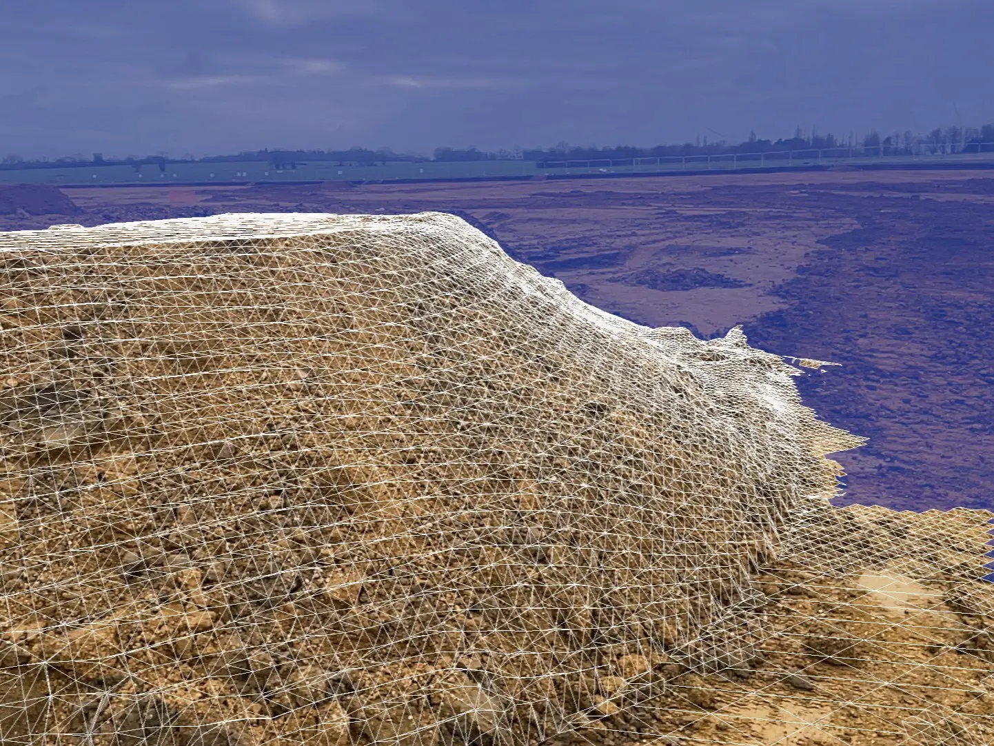
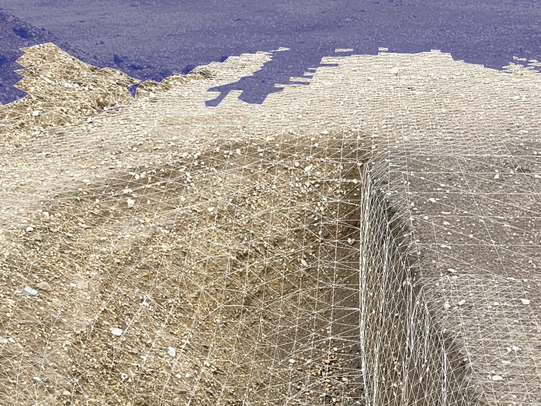
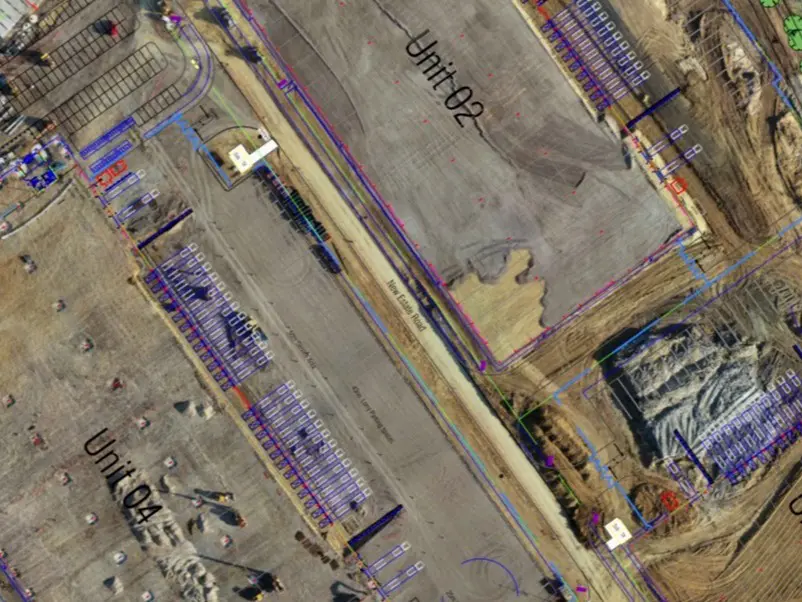
Our team of experienced professionals can create 3D models of your site, providing a detailed view of the terrain and surface features. We use this data to calculate volumes of material such as earthworks, stockpiles, and quarries. Our services are customizable to meet your specific needs, ensuring that you have the most accurate and up-to-date information to make informed decisions about your project.
Our volume calculations and digital surface modelling services are ideal for a wide range of industries, including construction, mining, and agriculture. Whether you need to calculate volumes for excavation, measure stockpiles, or map land contours, our services provide the most accurate and efficient solution.
Contact us today to learn more about how we can help you achieve your project goals with our volume calculations and digital surface modelling services.
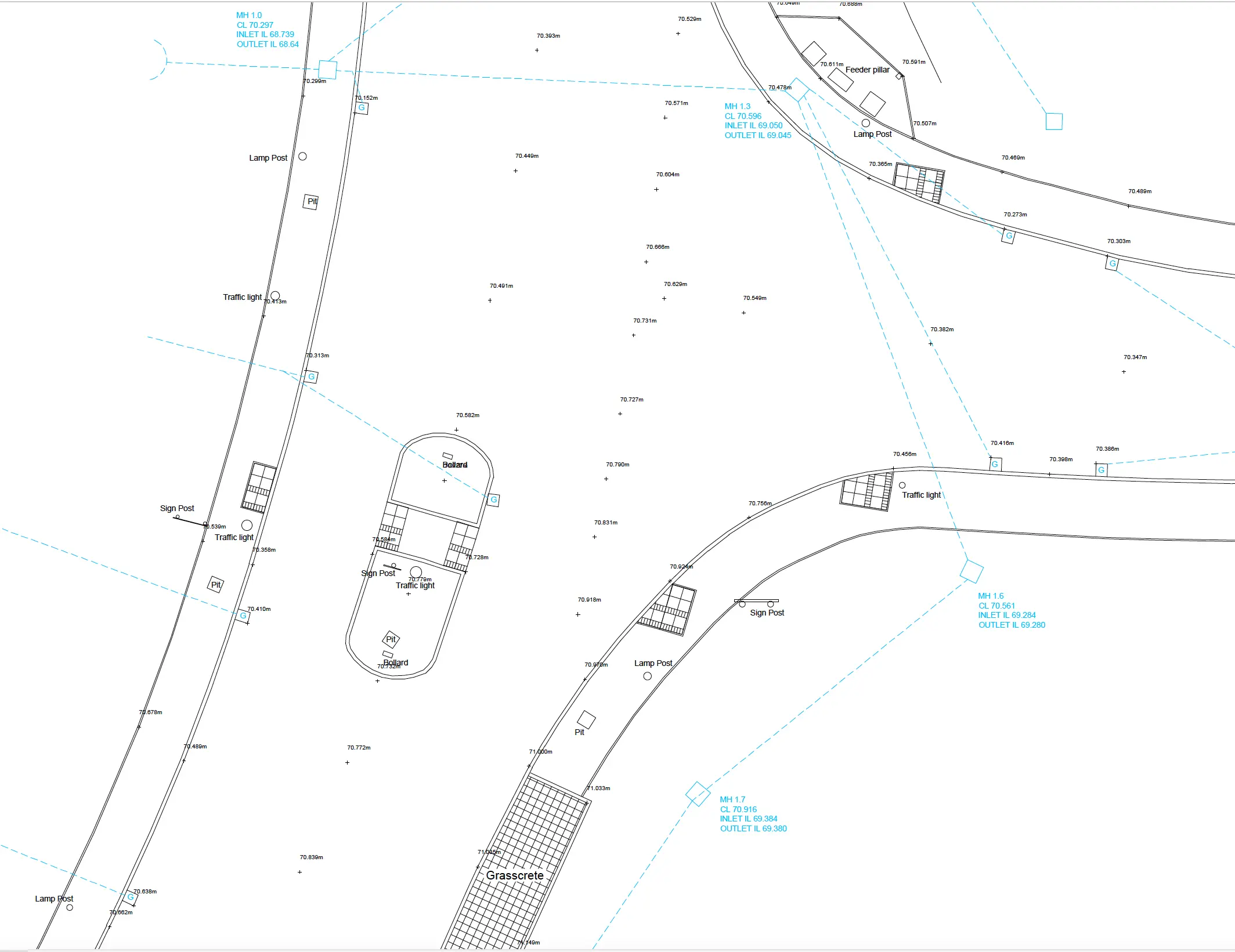
Building digital terrain and surface models:
Conducting mass, distance, volume calculations:
Building Information Modelling (BIM) and 3D reconstructions.
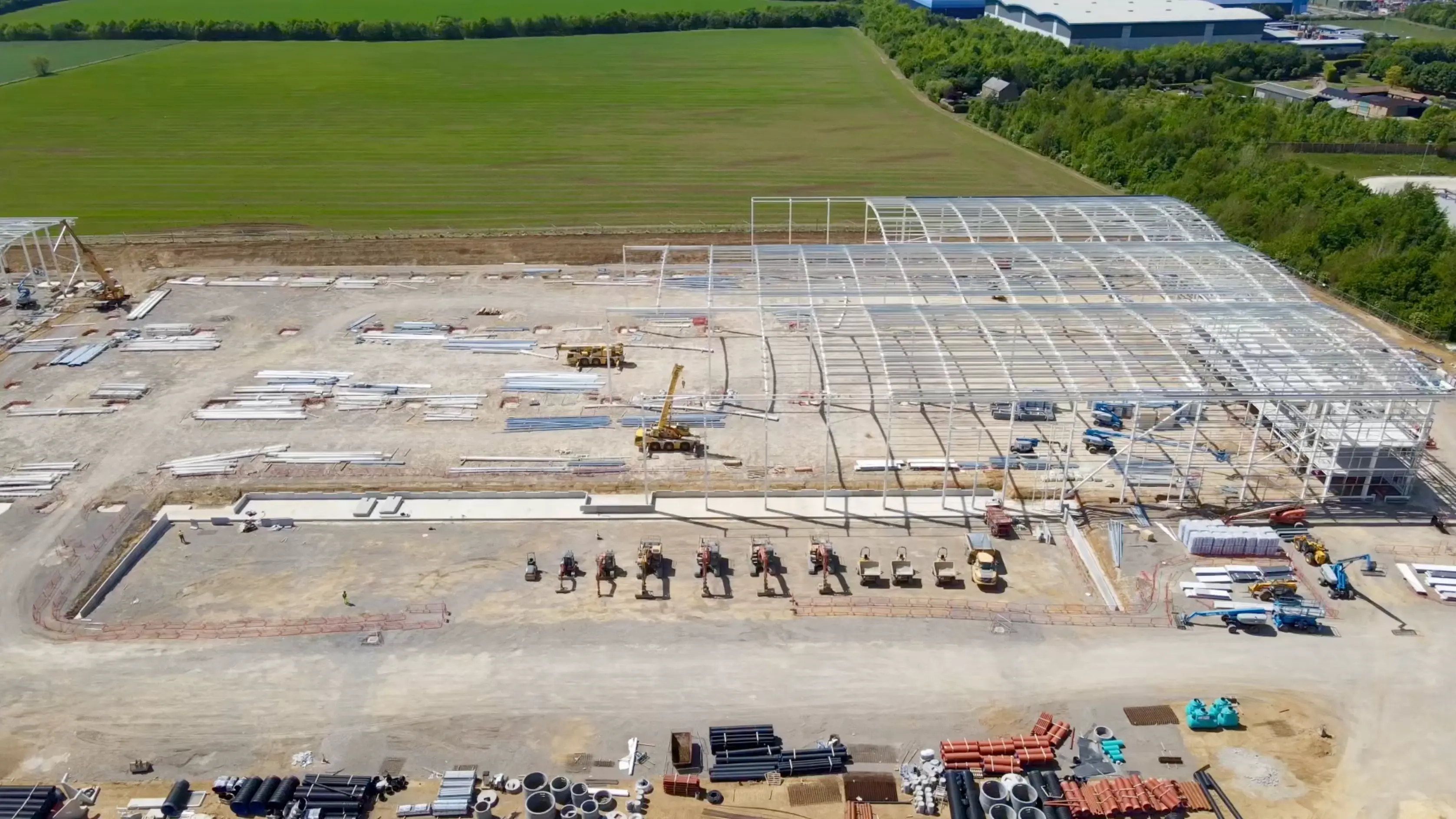
3D models are ideal for job/site inspection and visualise how buildings/structures will look in the real world.
3D data also allows for the creation of Digital Surface Models (DSM),
Digital Terrain Models (DTM), Digital Elevation Models (DEM).
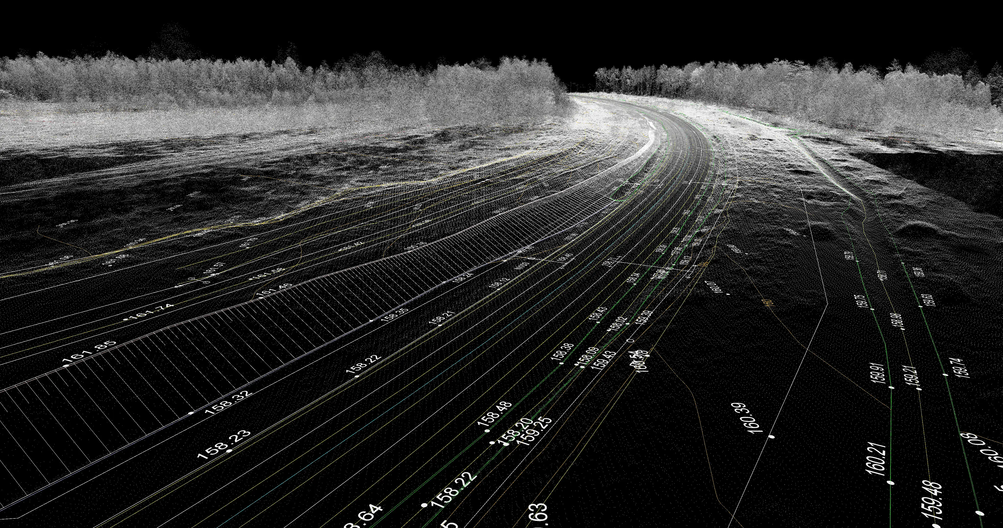
Point Clouds can be crucial for construction projects - helping to
build 3D models and digital twins which are ideal for BIM applications. These digital models can be used throughout life cycle of a scheme, allowing teams to scan for quality assurance,
cross - check models and spot errors before they become a problem,
conduct stockpile volumes and monitor the progress of a development.
